We left Seaside, Oregon and drove north through Astoria, Oregon and over a long bridge in to Washington state after a stop for diesel at $4.79/gallon.
 |
| The bridge is far off on the left |

 |
| Astoria-Megler Bridge Completed July 29, 1966 The 4.1 mile long bridge formed the final link in Highway 101 from Southern California to the norther tip of Washington. |


This time we were staying at a public RV campground where we are paying for each night. Eagle's Nest Resort in Ilwaco, Washington is not part of our Thousand Trails membership. Public campgrounds are our last choice after first looking for sites in Thousand Trails campgrounds, Harvest Hosts/Boondockers Welcome sites, Elks Lodges, Boondocking/Dry camping on BLM or Forest Service land, National Parks, and State Parks.


The first site we were assigned was a terrible spot so tight with other RV’s. We requested a different site and luckily, they had one in the trees. My favorite kind of site and we have good internet. Yea!


The campground had a real nice hall for activities and office and next to it was a building with an indoor pool and spa.


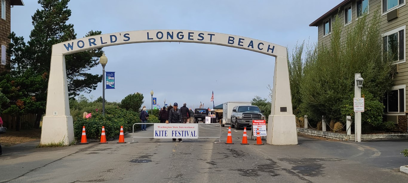 |
| Long Beach, Washington |

Although it was a foggy day we got to see some pretty cool kites.


 |
| Competition Area (judges set up in the tents which are open to the competition area) |


 |
| Oh yea, better be careful where I walk. |

We walked around on the boardwalk and then the sand. We saw lots of kites and then watched some competitive dancing kites doing a routine to music. This was a first for us.

 |
| Competition kites |
 |
| These 4 kites did a routine to music |
 |
| Ready and waiting for the music to start. |

 |
| Pilot: A term for the person who flies a kite. |


After our shift, we walked on the beach again to see more kites. It was a much nicer day.


 |
| Look at the Spaceman! |


 |
| Sand sculpture in town |
I can't pass up taking photos of fishing boats.


 |
| Name of one boat in the harbor. |

 |
| Directions to various places along the water |


Another day we went
to the Cranberry museum and we arrived after hours so we did the self-guided trail. I've never been to a cranberry farm before.


Take a self-guided tour of our bogs anytime from dawn to dusk, by picking up a brochure from the white mail box at the head of the sidewalk, just next to the front parking lot. Follow the sidewalk toward the bogs, go through the evergreen huckleberry hedge and walk on the grassy path in between the bogs.


 |
| We're researching ways to help manage cranberry tipworm Cranberry tipworm is a tiny fly (2 mm in length) that lays its eggs at the tops of cranberry uprights (the stems growing straight up to the sky). Growing tipworms can cause the main uprights to die, which forces side shoots to sprout instead. Side shoots usually grow leaves instead of fruit the next season, potentially reducing yield. And we don't want that! Washington State University, Long Beach Research Unit is researching ways to sustainably manage cranberry tipworm populations to help cranberry farmers produce more cranberries per acre. |


 |
| Cranberries are grown in peat or sandy soil. Cranberries grow on vines, not bushes. Cranberries require protection from frost, heat, insects, and disease. |


 |
| Looking back towards the barn |


Harvest occurs in September and October. That would be cool to see. I wonder if it looks the same as the Ocean Spray commercials?
Next we went back to the Kite Festival to see the night kites
flying with lights. We waited
45 minutes in line at Scoopers for ice cream and missed most of the night kites! Oops!


As we were leaving the area we saw so many boats in this one area. Must be good fishing or crabbing going on!


These were our stops along the Oregon and Washington coast. We're headed inland next to Chehalis, Washington.

Thanks for following along......


